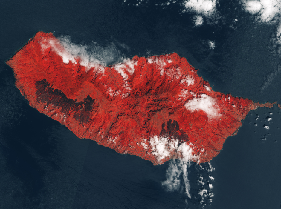
Geographic information system

We have always operated in the field of geographic information systems (GIS), primarily using Open Source solutions. We are a national reference point for public administrations seeking to migrate some of their systems from proprietary solutions to Open Source ones, whether for entire platforms or individual components. In the GIS domain, we provide well-established products and custom solutions, ranging from the design and development of GeoDB to backend infrastructures and web frontends for data publishing.

OT4Clima

OT4Clima was a project involving a large and highly qualified national team, including universities, the CNR, and the leading national companies active in the Earth Observation (EO) sector. The goal was to study solutions that, based on EO data, could address climate change analysis. Gter was part of the team that assessed the results of the research phase and analyzed the compliance of these solutions with market requirements.

AI_RON_MAN:

The project aimed to develop an AI-based solution for analyzing satellite images to identify areas affected by fires. Gter managed the data collection phase, image preprocessing, and automation of the processing workflow.